 Technology like Nearmap’s allows insurers to receive data on damage faster — and pay out claims more quickly. (Credit: Artranq/Adobe Stock)
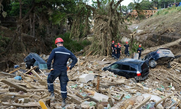
Hours after last year’s hurricanes and this year’s LA wildfires, Nearmap had planes in the air surveying the damage.
The images captured showed destroyed buildings and ripped-up roofs. Out of 7,546,481 properties analyzed following the hurricanes, 484,107 had some level of damage, while 98,443 had major damage, and 5,193 properties were destroyed. In LA, of the 41,116 buildings analyzed, 12,574 had major damage or were destroyed.
Recommended For You
Want to continue reading?
Become a Free PropertyCasualty360 Digital Reader
Your access to unlimited PropertyCasualty360 content isn’t changing.
Once you are an ALM digital member, you’ll receive:
- Breaking insurance news and analysis, on-site and via our newsletters and custom alerts
- Weekly Insurance Speak podcast featuring exclusive interviews with industry leaders
- Educational webcasts, white papers, and ebooks from industry thought leaders
- Critical converage of the employee benefits and financial advisory markets on our other ALM sites, BenefitsPRO and ThinkAdvisor
Already have an account? Sign In Now
© 2025 ALM Global, LLC, All Rights Reserved. Request academic re-use from www.copyright.com. All other uses, submit a request to [email protected]. For more information visit Asset & Logo Licensing.
Corey Dahl
Corey Dahl is assistant editor with PropertyCasualty360.com. Reach her at [email protected].