Insurance concerns grow regarding atmospheric rivers

Climatologists say atmospheric rivers are becoming longer, wider and wetter. Increased flooding is the result.

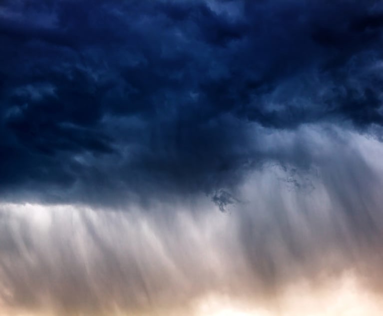
Atmospheric rivers in the sky can be 300 miles wide, a mile deep and more than 1,000 miles long. (Credit: Credit: Sabphoto/Adobe Stock)

In 2019, meteorologists nationwide began rating atmospheric rivers (AR), or storms that have the potential for millions of dollars in losses and severe flooding.

But what exactly is an atmospheric river/?

This weather phenomenon that’s currently battering Southern California with repeated thunderstorms and flooding is a long, narrow “river” of condensed water vapor in the atmosphere that moves with the weather.

A strong river can carry between 7.5  and 25 times the flow of water that passes through the mouth of the Mississippi River. These rivers in the sky can be 300 miles wide, a mile deep and more than 1,000 miles long. Most are small, but they can be massive and fast moving, and when storms like that make landfall, they often release rain or snow, sometimes in large amounts over short periods of time.

One atmospheric river can carry 10.5 trillion gallons of water a day. They account for 50%  of the annual precipitation in California, and are responsible for 65% of the western USA’s extreme rain and snow events. The storms develop in the tropics, which is why another moniker for this weather phenomenon is the Pineapple Express. They are a default feature of the entire global water cycle, and are present somewhere on the planet at any given time.

There are predictions that climate change will cause atmospheric rivers to become 25% longer and 25% wider and carry more water. This may lead to more flooding.

Partners in crime

Atmospheric rivers don’t always act alone; they may bring a bomb cyclone with them. A bomb cyclone is a storm that forms when warm and cold air masses collide creating a low-pressure system in which the barometric pressure drops 24 millibars in 24 hours. This causes the storm to rapidly intensify, often bringing large amounts of snow or rain.

Not only that, atmospheric rivers can occur consecutively, and this is known as AR families. The hazard with AR families is that they can cause significant flooding. The first storm saturates the ground, while subsequent storms only add precipitation onto already saturated ground, leading to more runoff into already full streams and rivers, leading to flooding. AR families tend to occur along the North Pacific and higher pressure heights over the subtropics. A recent study indicated that AR families can cause three to four times the economic damage than when any one atmospheric river occurs alone.

While most atmospheric rivers are small and beneficial, providing rain and snow to the western states, the massive atmospheric rivers can cause significant flooding. As identification and prediction of atmospheric rivers has improved, the scale was developed to let people know what to expect and how to prepare if the storm is going to be strong. Similar to hurricanes atmospheric rivers are ranked 1-5. The ranking uses Integrated Water Vapor Transport (IVT), which is the amount of water vapor in the system and the wind moving it around, and the duration of the storm.

AR Category 1 – is considered weak and is seen as primarily beneficial, lasting a short period of time, and producing modest amounts of rain. These storms last up to forty-eight hours and have an IVT of 250-500.

AR Category 2 – is considered moderate and mostly beneficial. These storms last longer and help replenish rivers, reservoirs and streams. These storms last up to seventy-two hours with an IVT of 250-1000.

AR Category 3 – is considered strong, beneficial and hazardous. They may push rivers to near flood stage, and last up to seventy-two hours and beyond with an IVT between 500-1250.

AR Category 4 – is extreme, mostly hazardous but also beneficial. These are larger storms dropping more rain, which pushes rivers even closer to flooding. They last up to seventy-two hours and beyond with an IVT of 750-1250 or greater.

AR Category 5 – is exceptional and hazardous. An AR 5 storm can bring as much rain as the strongest Atlantic storms and cause mudslides, loss of power and flooding.

A longer duration or stronger intensity can cause a storm to change categories. For example, a storm that lasts less than twenty-four hours with an IVT between 500 – 750 is a category 1 storm. However, that same storm becomes a category 3 storm if it lasts more than forty-eight hours. The storm that stalls and stays for days is dangerous. Some experts say that Category 4 and 5 ARs can be compared to tornadoes ranked as EF 4 and 5 and hurricanes ranked as Category 3, 4, 5. Tornadoes ranked EF 4 and 5 have winds of 166 miles per hour and upwards. Hurricanes ranked 3 have winds between 11-130 mph, and storm surges of nine to twelve feet. Category 4 hurricane winds are 131-155 mph, surges of thirteen to eighteen feet and category 5 are above 155 mph and surges above eighteen feet.

While no damage levels have been assigned to AR ratings, and the storms are different in nature, the following shows the damage associated with stronger tornadoes and hurricanes for reference. This may be usable as a loose guide when preparing for or assessing damage from an AR storm. The rating scale may change overtime, but this is a start on identifying and predicting another type of storm that may bring damage and claims with it.

Category Tornadoes Hurricanes
3 Extensive damage-Large trees, some signs down. Structural damage to small buildings, homes; mobile homes destroyed. Serious flooding at coast, waves/debris damage large, destroys small structures. Roads cut off 3-5 hours before storm, flat terrain <5 feet above sea level flooded inland 8 miles or more. Local evacuations occur.
4 Devastating damage=houses destroyed, some structures lifted off foundations and blown some distance, cars blown some distance, large debris airborne. Extreme damage – Trees, all signs down. Structural damage severe. Complete failure of some roofs. Flat terrain < 10 feet above sea level flooded 6 miles inland. Major damage to lower levels of structures near shore. Roads cut off 3-5 hours before storm. Major beach erosion, all residences within 500 yards, single story homes on low ground within 2 miles of shore evacuated.
5 Incredible damage-trees debarked, automobile sized debris airborne, reinforced concrete structures damaged, strong frame houses lifted from foundations. Catastrophic damage – Roof/window/door damage/ complete failure. Small buildings fail, some overturned, mobile homes destroyed. Major damage to lower floors of all structures < 15 ft. above sea level and within 500 yds. Roads cut off 3-5 hours before storm. Major erosion. Evacuations within 5-10 miles of shore.

Revised 2023; original published in 2019 by FC&S Expert Coverage Impetration.

See also: