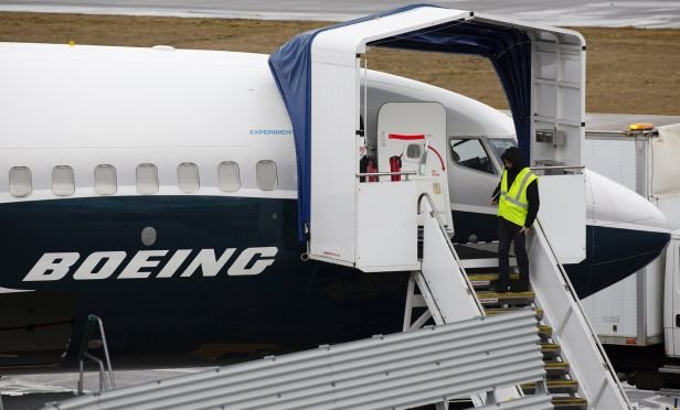
 An employee stands next to a Boeing Co. 737 Max 9 plane at the company's manufacturing facility in Renton, Washington. The erratic, six-minute flight of the Ethiopian Airlines plane convinced the FAA that it was close enough to what preceded the Oct. 29 crash of another Max off the coast of Indonesia to warrant concern. (Photo: David Ryder/Bloomberg)
The first concrete evidence of a possible link between two deadly Boeing 737 Max crashes came from space.
Recommended For You
Want to continue reading?
Become a Free PropertyCasualty360 Digital Reader
Your access to unlimited PropertyCasualty360 content isn’t changing.
Once you are an ALM digital member, you’ll receive:
- Breaking insurance news and analysis, on-site and via our newsletters and custom alerts
- Weekly Insurance Speak podcast featuring exclusive interviews with industry leaders
- Educational webcasts, white papers, and ebooks from industry thought leaders
- Critical converage of the employee benefits and financial advisory markets on our other ALM sites, BenefitsPRO and ThinkAdvisor
Already have an account? Sign In Now
© 2025 ALM Global, LLC, All Rights Reserved. Request academic re-use from www.copyright.com. All other uses, submit a request to [email protected]. For more information visit Asset & Logo Licensing.


