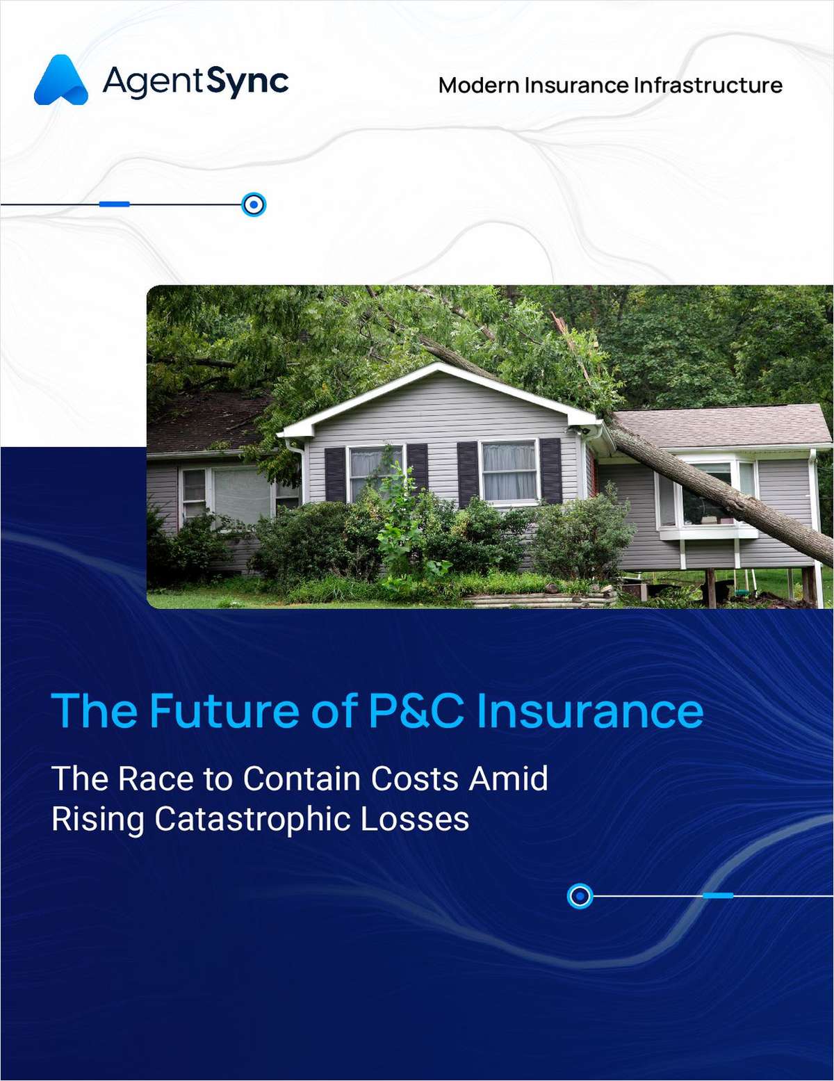
Research on climate change is ongoing, but risk management evaluation and strategies need to begin now to avoid the consequences of flooding and escalating property loss, according to a recently published study.
Looking out to the year 2030, the study, conducted jointly by environmental research firm Atmospheric & Environmental Research and its sister company AIR Worldwide, a risk modeling firm, puts the expected average annual losses for the entire U.S. Gulf and East Coast regions in 20 years at $12.3 billion.
According to the researchers, this projected annual level, representing an increase of 18.6 percent from current levels, could exist in 20 years if sea level change and tropical storm activity stay consistent with current warm sea surface temperature trends.
Sea level is rising as the world ocean warms and ice caps and glaciers melt, the study said, noting that published estimates based on data from satellite altimeters, beginning in late 1992, suggest that global mean sea level has been rising on the order of 3 mm a year (just over 3/32 inch).
Even increases on the order of 10 cm in sea level can amplify the already devastating losses that occur when a hurricane driven storm surge coincides with an astronomical high tide, according to the study titled, “An Estimate Of Increases In Storm Surge Risk To Property From Sea Level Rise In The First Half Of The Twenty-First Century.”
Local processes, including ocean currents and land motions due to a variety of causes, modulate the global signal spatially and temporally, according to the study. These local signals can be much larger than the global signal, and especially so on annual or shorter time scales.
In addition to the $12.3 billion annual estimate, the study said that while the regions that currently have the highest flood-related losses will continue to have the largest total dollar losses, on a percentage basis the sharpest increases in losses will occur along the Mid-Atlantic coast.
On a local basis, the study said regions most at risk are centered on the Mississippi Delta, the Gulf Coast of Florida south of Tampa Bay and Cape Hatteras. The Mississippi Delta and Cape Hatteras are also areas where the sea level is rising most quickly, according to the study.
When it comes to climate change, the study said, simple answers are few and not sufficient to allow for precise projections. Society, however, does not need to wait until all the answers are certain in order to act. Rather, it said, society must make critical risk management decisions in the face of uncertainty.
Evaluating potential actions requires the tools to assess the impact that each action may have, the study said. A valuable approach is to inform decision-makers with sensitivity studies and potential future scenarios to enable the formation of resilient strategies designed to cope with climate change, according to the study.
Want to continue reading?
Become a Free PropertyCasualty360 Digital Reader
Your access to unlimited PropertyCasualty360 content isn’t changing.
Once you are an ALM digital member, you’ll receive:
- Breaking insurance news and analysis, on-site and via our newsletters and custom alerts
- Weekly Insurance Speak podcast featuring exclusive interviews with industry leaders
- Educational webcasts, white papers, and ebooks from industry thought leaders
- Critical converage of the employee benefits and financial advisory markets on our other ALM sites, BenefitsPRO and ThinkAdvisor
Already have an account? Sign In Now
© 2025 ALM Global, LLC, All Rights Reserved. Request academic re-use from www.copyright.com. All other uses, submit a request to [email protected]. For more information visit Asset & Logo Licensing.


