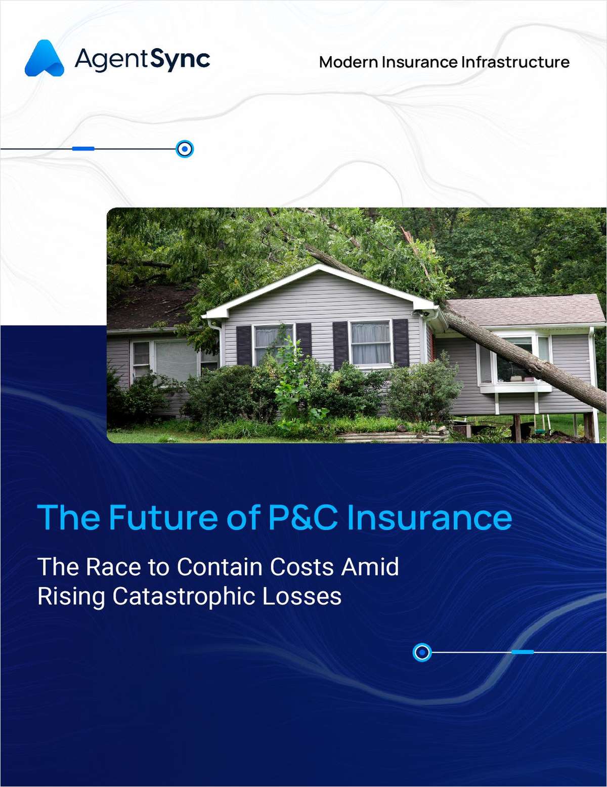
Over the past decade, there has been an explosion in the number of digital analytical tools available to underwriters and brokers. The insurance industry has always been data-driven, but modern catastrophe risk modeling allows us to use data to create a clearer picture of property risks. Adoption of these models has been almost universal and cements their prominent role in insurance and reinsurance analysis and pricing.
It is easy to understand why—some of the possibilities are impressive. The recently released Touchstone 2.0 from AIR Worldwide makes it much easier to model severe thunderstorms and tornadoes. Corelogic's RiskMeter product is available online and looks at 30 natural hazards, from physical hazards to windstorm risk. Another company called Intermap, a provider of geospatial solutions, recently let me beta test their Insite Pro product, which allows users to leverage dependable ground elevations to better qualify flood risk and also features a user-friendly mapping interface.
These tools, alongside trends in metadata usage, have opened up possibilities for understanding risks. However, any mistakes made in initial data collection can have ripples throughout the process, ultimately affecting pricing.
Want to continue reading?
Become a Free PropertyCasualty360 Digital Reader
Your access to unlimited PropertyCasualty360 content isn’t changing.
Once you are an ALM digital member, you’ll receive:
- Breaking insurance news and analysis, on-site and via our newsletters and custom alerts
- Weekly Insurance Speak podcast featuring exclusive interviews with industry leaders
- Educational webcasts, white papers, and ebooks from industry thought leaders
- Critical converage of the employee benefits and financial advisory markets on our other ALM sites, BenefitsPRO and ThinkAdvisor
Already have an account? Sign In Now
© 2024 ALM Global, LLC, All Rights Reserved. Request academic re-use from www.copyright.com. All other uses, submit a request to [email protected]. For more information visit Asset & Logo Licensing.


